EquiPop Maps Demo
"The GIS software EquiPop is developed for the
assembling of segregation analysis data. The program is designed around
the idea of the k-nearest neighbour wherein a user defined count of
individuals (or something else) is to be counted from each point of
origin. This means that rather than counting the number of people within
certain administrative regions or within a predefined radius, the
program collects the user defined count of individuals in the
surroundings of each point of origin. In addition, the program counts
the number of individuals belonging to a user defined subgroup. The
ratio between counts of subgroup individuals and the user defined
total-count of individuals can be used in segregation analyses.
More info on the EquiPop software at
http://equipop.kultgeog.uu.se/
Important information to the visitor = YOU!
The data that you can access from this page is distributed via a
Geoserver that acts as a project test-bed and should NOT be
considered as a production solution!
No pre-caching (or any other optimization) is undertaken which means
that "first-time" access to datasets at a certain zoom-level might be
slow until caching is performed (be patient and let layers load before
clicking wildly to reload - caching will be done automatically which
means that when you or anyone else requests the same data the response
will be significantly faster).
Read more on Geoserver here
http://en.wikipedia.org/wiki/GeoServer
Tech-note: Data is hosted on a Geoserver that serves both the
GeoExplorer wms web client and kmz-data for Google Earth. PDF's are
manually generated from ArcGIS/MapInfo.
Contact for this page:
stefan.ene@humangeo.su.se
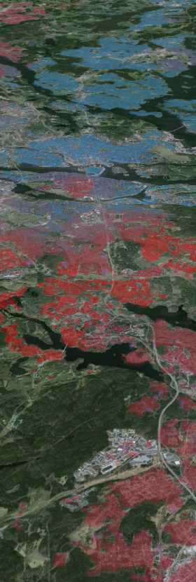
Demo data for Stockholm in Geoserver and Google Earth
(download GE
here)
Data from "Stockholm" defined as the county of Stockholm except the
municipalities of: Nynäshamn, Södertälje, Nykvarn, and Norrtälje.
Pointdata modified by ArcGIS and displayed as 100m squares.
Data classified in 5 quantiles.
View webmaps:

View in Google Earth:
|